Aerial Perspectives: Using Drone Photography to Empower Community Generated Design Solutions
Meghan Kirkwood, Wyly Brown
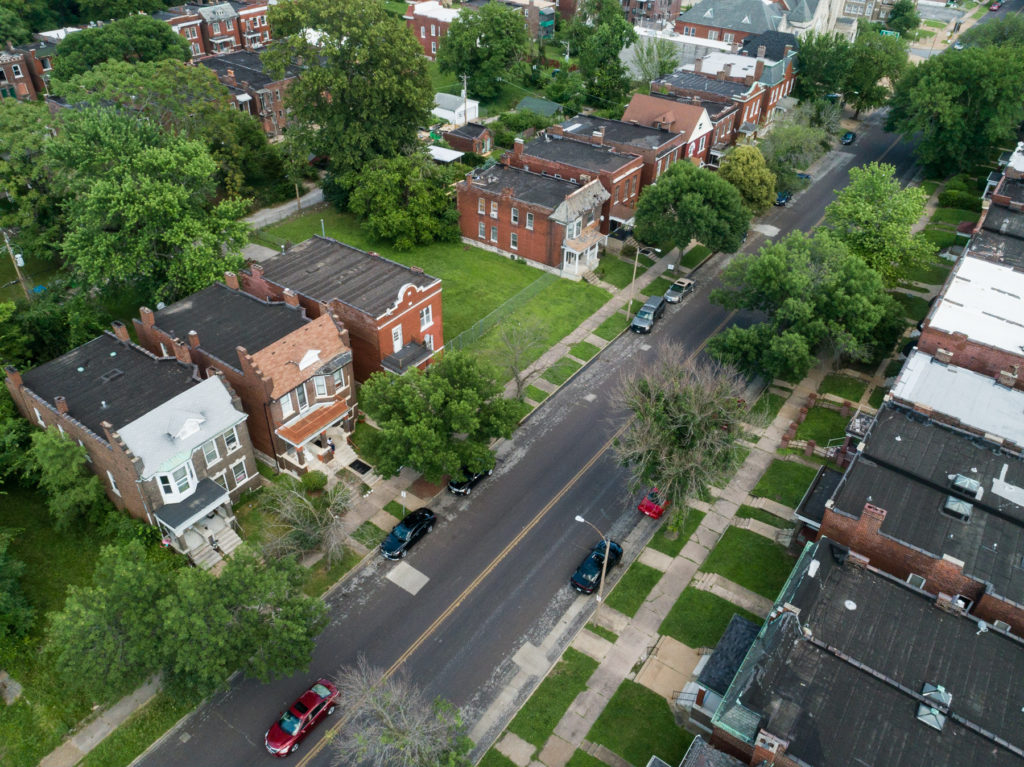
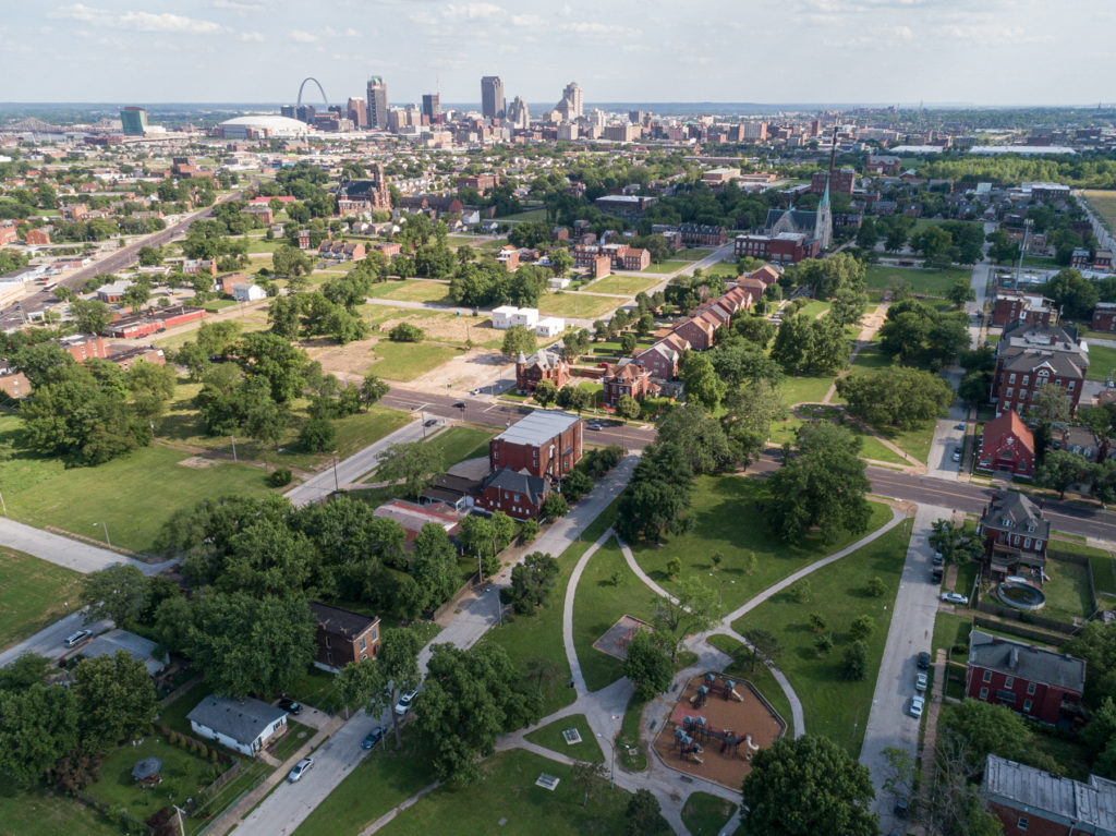
“Aerial Perspectives” is working in collaboration with resident groups in three different St. Louis neighborhoods to integrate the use of drone technologies to support the development of their neighborhood planning efforts. Our workshops will teach residents to fly drones for a variety of purposes, to capture aerial views, collect data on lighting footprints, 3-dimensionally scan geometry and topography, and create visual narratives about their own neighborhood spaces. By putting the tools developed for capturing quantitative and qualitative data directly into the hands of local residents in the early planning stages, new neighborhood-led strategies and initiatives will arise to enhance resources that address issues of vacancy and equity. We believe this project will offer an important opportunity to test the efficacy of this community-led model for addressing issues of urban segregation, develop new and sustainable connections between Washington University researchers, and create new locally-born design solutions to repurpose vacant spaces into beloved places.